Drone Land Surveying and Privacy Concerns: What to Know
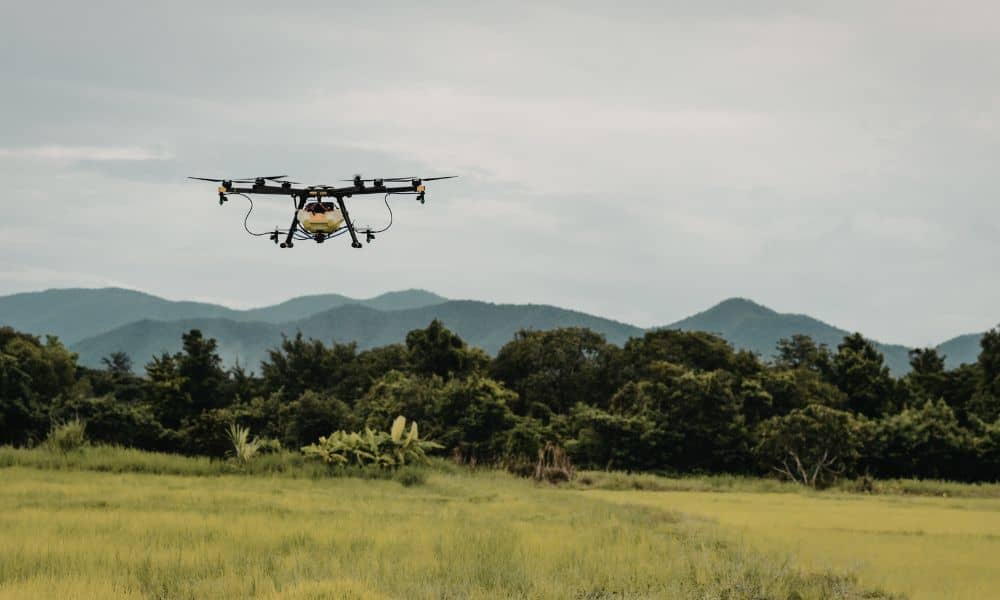
If you have seen a drone flying over a neighborhood lately, you are not alone. Drone land surveying has become more common across Alabama, including here in Sylacauga. At the same time, recent viral news from overseas has raised alarms about drones being used for surveillance and enforcement. As a result, many property owners now […]