Protect Your Construction Staking Survey from Storms
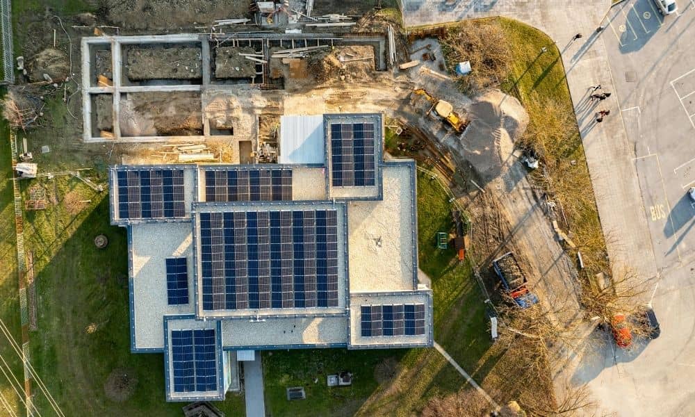
Solar storms might sound like something that only matters to astronauts or satellite engineers, but they can affect life right here in Daphne—especially for anyone doing a construction staking survey. When the sun’s magnetic activity flares up, it can scramble GPS signals and make it harder for survey crews to get accurate positions. That’s a […]
When RTK Drops, Here’s How Construction Surveyors Recover
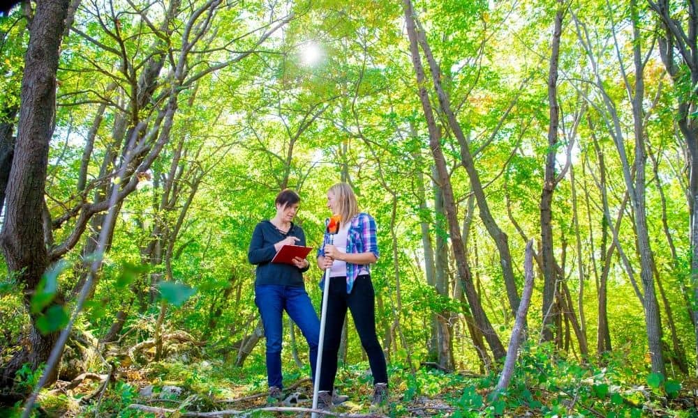
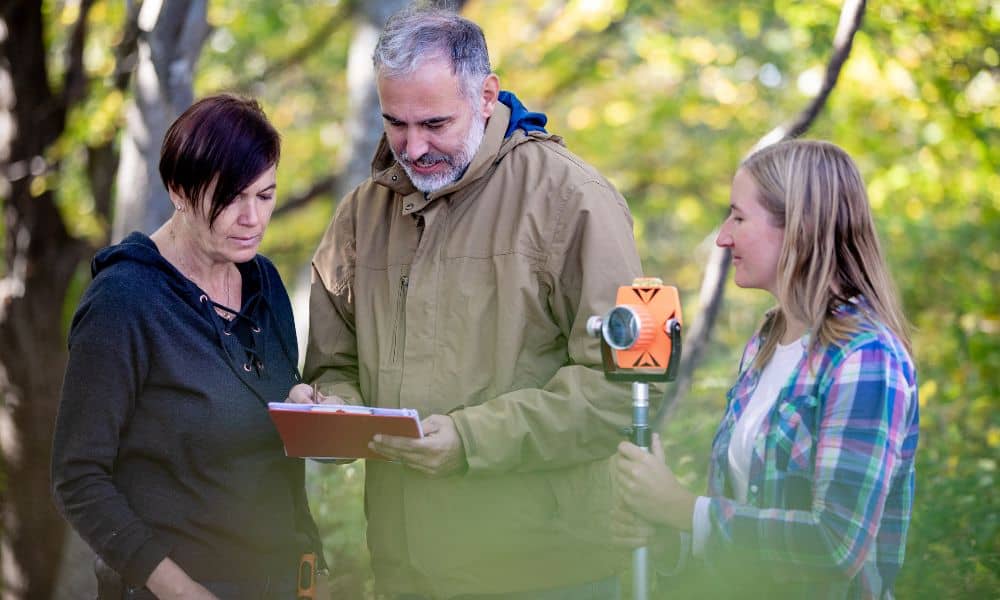
If you’ve worked on a job site, you already know how unpredictable the field can be—especially for construction surveyors working under tree cover or in remote areas. One minute your RTK system is locked in; the next, your signal drops out and your GPS rover can’t hold a fix. When that happens, panic can spread […]
The ‘Stakes Moved’ Debate and the Boundary Line Survey Fix
It started with a viral post: two neighbors arguing because one claimed the other had “moved the stakes.” The comments exploded—some said fences show the real property line, others insisted it’s wherever the metal pins are buried. The truth? None of them were completely right. When emotions run high and rumors spread online, only a […]