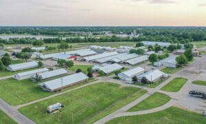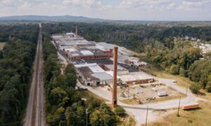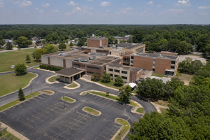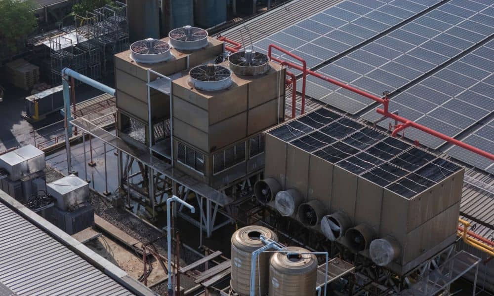
A data center doesn’t always sit on one lot. The cooling plant that keeps the servers cool may sit on its own parcel next to the main building. Pipes, power lines and service roads then run from one parcel to the other. An ALTA survey shows how each parcel lines up with that equipment and those routes before a buyer or lender closes.
This matters in Birmingham right now. In June 2026, the Birmingham City Council passed a zoning rule with 20 conditions for very large data centers. If you’re weighing a site here, you need to know about every parcel tied to the project, not just the one under the main building.
Why Cooling Infrastructure Can Involve Separate Data Center Parcels
A cooling plant can end up on its own parcel for simple reasons. Many data center sites come from several pieces of land bought from different owners. A developer may also keep the cooling plant on its own lot to build in stages or add a building later.
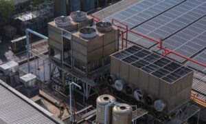
A cooling plant needs a lot of room. It can hold chillers, cooling towers, pumps, water tanks and the power gear that runs them. Big pipes carry water from the plant to the building, and those pipes often cross a parcel line.
Each crossing leads to a title question. Someone owns the ground under the pipe, and someone needs a recorded right to keep the pipe there. That may not seem like a big deal when one company owns both parcels. It turns into a big deal when the owner sells, refinances or leases one parcel to someone else.
What an ALTA Survey Shows Across Connected Parcels
An ALTA/NSPS Land Title Survey is a map of a property’s lines, buildings and recorded rights. It follows a national standard set by two groups, the American Land Title Association and the National Society of Professional Surveyors. The 2026 version of that standard has covered most new contracts since February 23, 2026.
When a site has more than one parcel, the survey shows each parcel’s lines and where they meet. The surveyor marks any gaps or overlaps between them. Even a thin gap can leave a pipe or a paved drive on land that no one meant to buy.
The map also shows buildings, equipment pads, fences and drives next to those lines. That helps the team find equipment that crosses a line or sits on the wrong parcel. You can ask for extra items from a list called Table A, such as signs of buried utilities or zoning details. The survey shows what’s on the ground and in the records, and a title company or lawyer decides what it means for ownership.
Easements and Access Around Cooling Plant Sites
Easements often decide if a cooling plant parcel can work on its own. An easement is a right to use part of someone else’s land for a set reason, like running a pipe or driving across it. The survey maps the recorded easements listed in the title commitment, which is the title company’s report on the property, as long as the written details give enough to place them.
For a cooling plant site, look for these items on the survey and in the title records:
- A recorded right for water, sewer and power lines that cross between parcels
- A legal way in for service trucks, cranes and fuel or chemical deliveries
- Drainage easements that could limit where tanks or pads can go
- Whether the plant’s driveway stays on your land or crosses a neighbor’s parcel
- Pipes, vaults or utility markers you can see that have no recorded easement
That last item needs a close look. The survey may show a manhole or pipe marker that points to a line with no recorded right. The survey can’t create that right, so your lawyer may need to draw up a new easement before closing.
Coordinating Survey Information With Data Center Site Plans
Bring the ALTA survey into the site plan before the design gets locked in. Civil engineers use the property lines and easement lines as the starting point for the building, the cooling yard and the pipe routes. If those lines show up late, the team may have to redraw a plan it already priced.
Ask the surveyor and the engineer to use the same grid system from the start. Then the easement strips on the survey will match the pipe paths on the plan. It also makes it easy to check that a new chiller pad or tank stays out of an easement.
An ALTA survey answers questions about lines and title, but it isn’t a design survey. A topographic survey adds the shape and height of the ground for grading and drainage. After the city approves the plans, construction staking marks the building corners and equipment spots in the field.
Birmingham Site Conditions to Review Before Closing
Birmingham’s new data center rules make it smart to check parcel lines and equipment early. The rules say a very large data center must stay 500 feet from residential or urban neighborhood districts, and that distance counts all buildings and equipment. The smallest lot allowed is 5 acres. A cooling tower on a nearby parcel could change how those distances work out.
The rules also ask for a water use estimate, a description of the cooling system, the water source and proof of enough water and wastewater capacity. An ALTA survey can’t answer those zoning questions by itself. It gives the planner and engineer exact lines and equipment spots to measure from, and the city’s zoning staff makes the final call.
Local ground can bring its own issues. Some land around Birmingham used to hold factories, rail spurs, pipelines or utility lines. Old deeds in the Jefferson County probate records may describe lines that don’t match today’s fences or pavement. Ask your surveyor to point out any mismatch well before your closing date.
Frequently Asked Questions
Can a cooling plant sit on a separate parcel from the data center?
Yes, it can. Some developers put the cooling plant on its own lot because of how they bought the land or how they plan to build in stages. The owner then needs recorded rights for the pipes, power and roads that link the plant to the main building.
Does an ALTA survey show access between adjoining data center parcels?
It shows the drives you can see and the access easements listed in the title report. You can tell if a service road stays on your land or crosses onto another parcel. The survey doesn’t decide if that right holds up in a legal sense, and a title company or lawyer handles that part.
Can an ALTA survey identify recorded utility easements near cooling equipment?
Yes, if the easement shows up in the title report with enough detail to place it. The surveyor draws the easement and shows how close pads, tanks or towers sit to it. An easement with no set location may only show up as a note on the map.