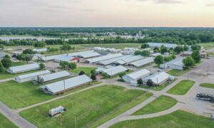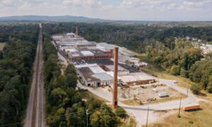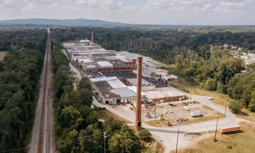
An industrial site that wants to add a rail spur has to start with good data. Before an engineer can compare routes, or a railroad can review a tie-in request, someone needs a clear picture of what is already on the ground. That is where lidar mapping comes in. It captures the current surface conditions along a proposed rail corridor. This gives engineers, plant operators, and rail-design professionals real facts to work from instead of guesses.
Decatur has a long history as an industrial city along the Tennessee River. Many of its sites already sit close to active rail lines. Extending a spur into an existing plant means working around buildings, drainage, and utility lines. It also means working near the rail line itself. Getting a clear picture of the site early can save time once design work starts.
Define the Rail Spur Mapping Limits
The first step in lidar mapping is deciding what area to capture. A rail spur extension does not stand alone. It has to connect to an existing line. It also has to work around other site features nearby.
A typical mapping area covers the proposed spur route. It also covers a buffer of space on each side. This buffer helps catch nearby buildings and drainage features. The area around the planned tie-in point gets included too. If the spur will cross a road, parking lot, or utility easement, that section usually gets mapped as well. Setting these limits before the flight or scan helps avoid gaps in the data. Gaps often mean a second trip to the site.
Model Existing Conditions Along the Proposed Connection
Once the mapping area is set, the lidar data becomes a detailed model of the site. This model shows ground elevation, grade changes, and existing pavement. It also shows drainage paths and other visible features along the route.
This model gives engineers a solid starting point. Instead of relying on old site plans, they can see how the ground looks right now. That includes low spots where water collects. It includes high points that may need grading. It also shows grade changes that could affect how the spur connects to the main line.
Compare Preliminary Routes Through the Industrial Site
With a current site model ready, engineers can test more than one possible route. This step often shows the real value of lidar mapping. It lets the design team check each route against real ground conditions, not just a flat drawing.
A route that looks fine on a map might run through a drainage area once real elevation data is added. It might also sit too close to a loading dock. Comparing routes early helps the team pick the best option before design work goes further. It also gives the client something clear to review. They can weigh cost, disruption, and available space before making a choice.
Document Visible Constraints Near the Rail Operating Area
Working near an active rail line comes with visible constraints. These need to be noted before design moves ahead. Lidar mapping picks up these features in the same dataset used for route planning, so nothing needs to be measured twice.
Common features found near a rail operating area include:
- Rail equipment such as signals, switches, and clearance zones
- Overhead lines, poles, and other utility features near the route
- Fencing or gates along the rail right of way
- Drainage structures and low spots that could affect grading
Finding these features early gives the design team a full picture. This helps them avoid surprises partway through the project.
Verify Critical Rail Tie-In Points Before Final Design
The tie-in point is where a new spur connects to the existing rail line. It is one of the most important parts of the whole project. Lidar mapping supports this step by giving engineers clear data at and around the connection point. This includes grade, alignment, and nearby clearance features.
This data does not replace the review process required by the railroad. It also does not replace the final design decisions made by a qualified rail-design professional. What it does is give everyone a shared, accurate starting point. That can help avoid delays once the railroad’s own team steps in to review the plan.
Frequently Asked Questions
Can lidar mapping determine the final rail spur alignment?
No. Lidar mapping gives engineers data to use while they compare route options. The final rail design still comes from a qualified rail-design professional who follows railroad standards.
Can lidar identify underground utilities beneath the proposed spur?
Lidar mapping shows what is visible on the surface. It does not show what is buried underground. Finding underground utilities still requires records research, utility coordination, or other locating methods.
Can mapping be done beside an active industrial rail line?
It may be possible. This depends on railroad approval, site access, current operating conditions, and safety rules. These details usually get worked out with the railroad before the work is scheduled.