FEMA Elevation Certificate for Permit-Ready Projects

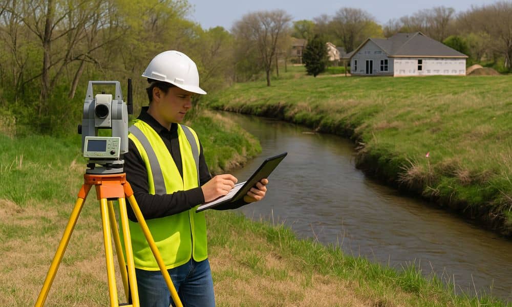
A FEMA Elevation Certificate is a critical part of the permit approval process when building near creeks or low-lying areas. For properties located in or around mapped flood zones, local reviewers and FEMA guidelines require certified elevation data before any grading or construction can begin. Submitting incomplete or inconsistent elevation benchmarks can delay or even […]