
Drone Surveying for Advanced Manufacturing Campus Expansion
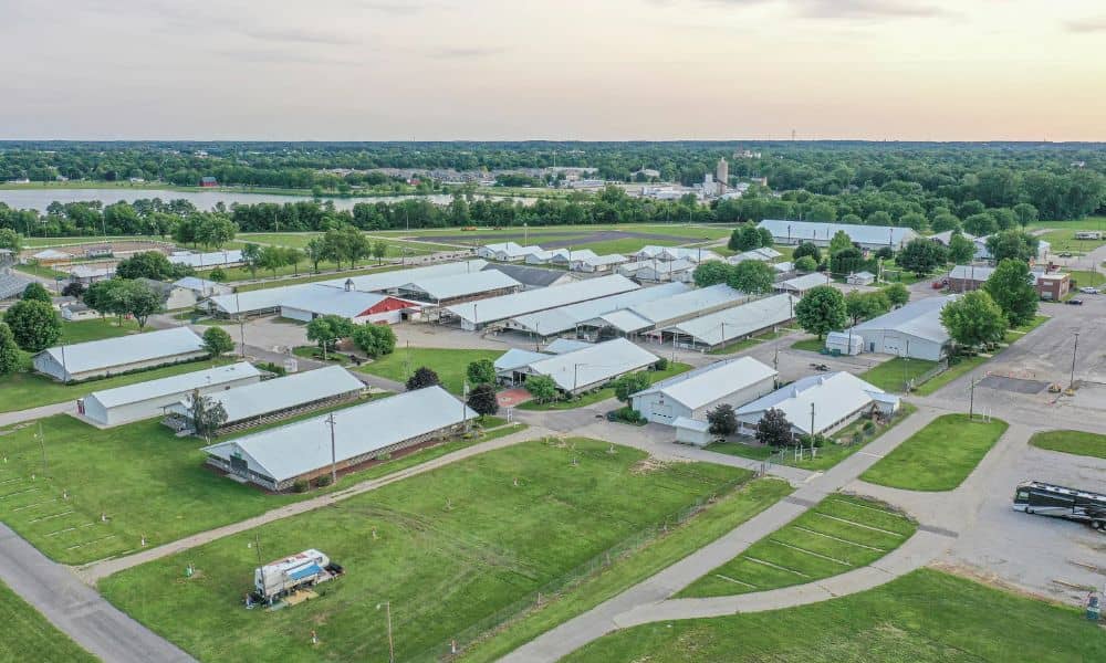
A plant that needs more room already has a lot on its land. Buildings, truck areas, ponds and fences all sit in set spots. Any new building has to fit around them. Drone surveying gives the owner and design team a fresh, measured map of the whole campus before anyone picks a site plan. This […]
LiDAR Mapping for Industrial Rail Spur Extension Planning
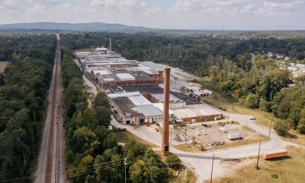
An industrial site that wants to add a rail spur has to start with good data. Before an engineer can compare routes, or a railroad can review a tie-in request, someone needs a clear picture of what is already on the ground. That is where lidar mapping comes in. It captures the current surface conditions […]