How Survey Mapping Uses Drones for Centimeter Accuracy
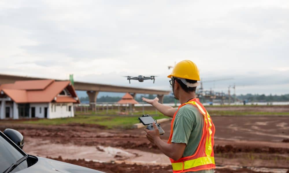
Survey mapping has changed fast over the past few years. Not long ago, most mapping work depended on crews walking the site with traditional equipment. Today, drones capture large areas in a fraction of the time. However, speed alone does not guarantee accuracy. To deliver results that engineers, builders, and property owners can trust, survey […]