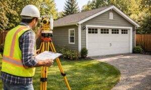
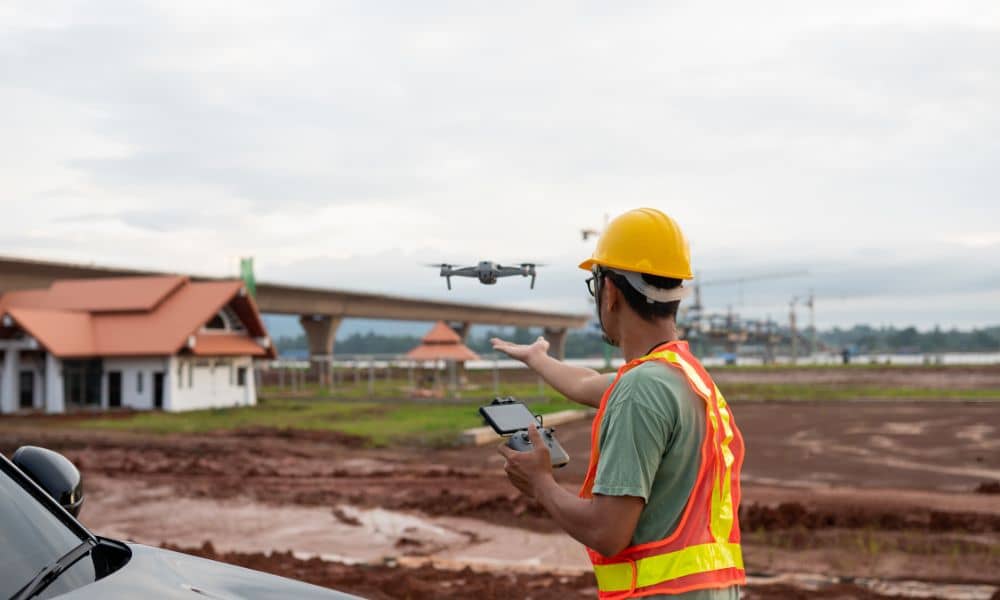
Survey mapping has changed fast over the past few years. Not long ago, most mapping work depended on crews walking the site with traditional equipment. Today, drones capture large areas in a fraction of the time. However, speed alone does not guarantee accuracy. To deliver results that engineers, builders, and property owners can trust, survey mapping now blends drone data with ground control.
This hybrid approach gives clients the best of both worlds: fast data collection and precise measurements. More importantly, it helps projects move forward with fewer delays, fewer mistakes, and fewer surprises.
Why Accuracy Matters in Survey Mapping
Accuracy is not a technical luxury. It affects real decisions on real projects. When survey mapping lacks precision, designs may not fit the site, drainage may fail, or structures may land too close to property lines. Each of these problems costs time and money.
Because of this, clients often ask one simple question: How accurate is the survey? The answer depends on how the mapping work was done. Drone-only data can look impressive, but without proper ground control, it may miss the level of accuracy that serious projects require.
What Drone Data Brings to Survey Mapping
Drone technology has transformed survey mapping in several positive ways. A single flight can capture thousands of images across large areas in minutes. As a result, surveyors can map open land, construction sites, and complex terrain much faster than before.
Drone data also improves visualization. Clients can see contours, surface features, and site conditions clearly. This makes planning easier and helps teams spot potential issues early.
However, drone data alone relies on onboard GPS. While that GPS works well for general positioning, it does not always meet the accuracy needed for engineering or construction. Small GPS errors can add up, especially across large sites.
Why Drone-Only Mapping Has Limits
Drone maps often appear precise. Still, appearances can mislead. Without reference points on the ground, drone data can shift slightly in position or elevation. Even small shifts matter when working near boundaries, designing grading plans, or setting building corners.
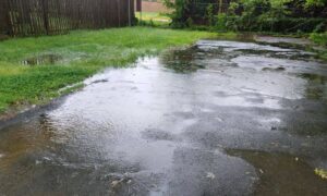
For example, a few inches of error can affect drainage flow or push a structure too close to a setback line. Because of this, professionals do not rely on drone data alone when accuracy truly matters.
The Role of Ground Control in Survey Mapping
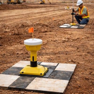
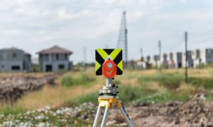
Ground control brings stability and trust to survey mapping. Surveyors place clearly marked points on the site and measure them using high-grade GNSS equipment. These points act as anchors for the entire map.
When surveyors process drone images, they align the data to these known ground points. As a result, the map locks into real-world coordinates with much higher precision.
Ground control also adds accountability. A licensed surveyor verifies the measurements and confirms that the final map meets accepted accuracy standards. This step protects both the client and the project.
How Survey Mapping Combines Both Methods
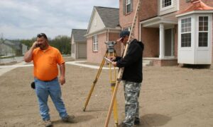
Modern survey mapping follows a clear and proven workflow. First, a licensed surveyor establishes ground control across the site. These points reflect true horizontal and vertical positions.
Next, the drone flies to the site and collects aerial imagery. Because the ground control already exists, the drone data does not stand alone. Instead, it connects directly to measured reference points.
After the flight, surveyors process the images and align them to the ground control. This step corrects small GPS errors and refines the model. The result is a detailed survey map with centimeter-level accuracy.
Because of this process, the final deliverables support design, construction, and legal needs. They do more than look good on screen. They work on the ground.
What “Centimeter Accuracy” Really Means
Centimeter accuracy sounds technical, but the concept stays simple. It means that mapped features fall within a few centimeters of their true location. On a project site, that difference matters.
For clients, this level of accuracy means fewer revisions. It means smoother coordination between design and construction. It also means fewer disputes over measurements later.
When survey mapping reaches this level, teams can trust the data. They can design with confidence and build without constant adjustments.
When High-Accuracy Survey Mapping Is Essential
Not every project needs the same level of precision. Still, many common situations demand accurate survey mapping.
Construction planning depends on reliable elevations and feature locations. Drainage design relies on accurate slopes. Property development requires clear boundary relationships. In flood-prone areas, accurate elevations affect permits and insurance.
In each case, survey mapping that combines drone data and ground control reduces risk. It helps projects move forward without costly setbacks.
Common Misunderstandings About Drone Survey Mapping
Many people assume drones replace surveyors. In reality, drones serve as tools, not replacements. Without professional oversight and ground control, drone maps remain incomplete.
Another common belief suggests that all drone maps deliver the same accuracy. That assumption often leads to disappointment. The methods behind the map matter more than the drone itself.
Clients also assume faster always means better. While drones speed up data collection, accuracy still depends on careful planning and verification.
What Clients Should Look for in Survey Mapping Services
Before hiring a provider, clients should understand how survey mapping gets done. Ask whether ground control is part of the workflow. Confirm that a licensed surveyor oversees the project. Clarify the expected accuracy level.
These questions protect the project. They also prevent surprises after design or construction begins.
Why Hybrid Survey Mapping Delivers Better Results
Survey mapping works best when speed and accuracy work together. Drones capture data quickly and safely. Ground control ensures that data aligns with reality.
This combination supports smarter decisions. It saves time during design. It reduces errors during construction. It also adds confidence when permits, inspections, or legal questions arise.
Final Thoughts
Survey mapping has evolved, but the goal remains the same: deliver reliable information that supports real-world decisions. By combining drone data with ground control, modern survey mapping achieves both efficiency and precision.
For clients, this approach means fewer risks and better outcomes. For projects, it means accuracy that holds up from planning through completion.