Drone Surveying: Why Ground Control Points Matter
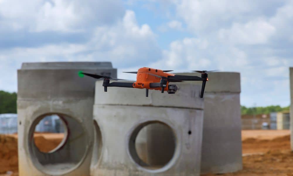
Drone surveying has changed the way many development projects begin. Today, builders, engineers, and property owners use drone surveying to map land faster and collect detailed site data before construction starts. A drone can fly over a property in minutes and capture thousands of measurements. However, one important detail often gets overlooked. The drone itself […]