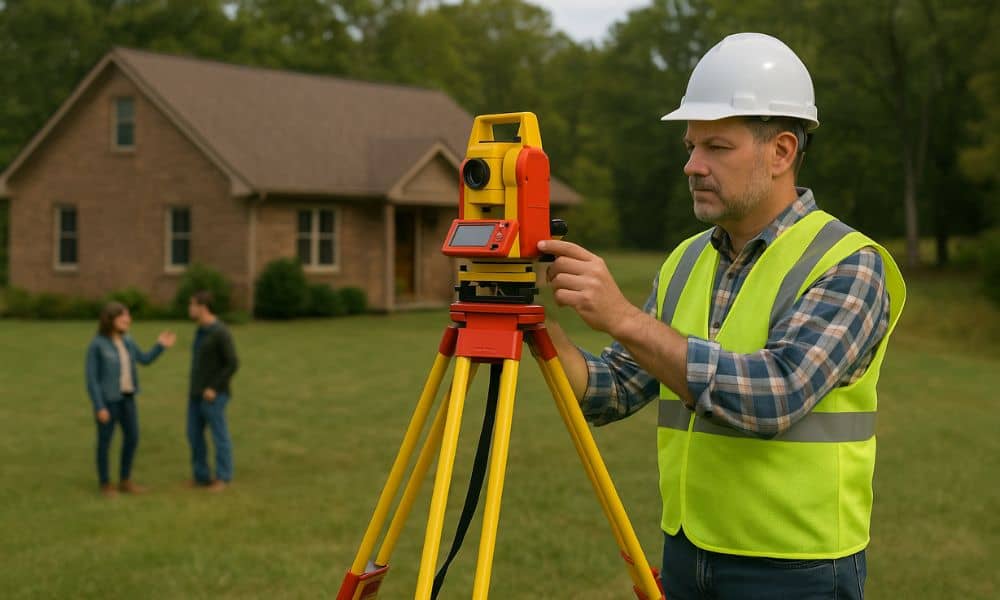
Inheriting land or a family estate can be a valuable gift—but it also comes with responsibilities. Whether you’re passing property down or receiving it yourself, one of the smartest steps you can take is to order a property survey. It provides clarity on where your land begins and ends, helps settle disputes, and ensures the property is legally prepared for sale, transfer, or development.
If you’re surveying inherited land, this process is often essential for resolving boundary issues, clearing title discrepancies, and meeting legal requirements. This is especially true in estate cases involving multiple heirs or outdated records, where a property survey plays a key role in protecting everyone’s interests.
Why Property Surveys Matter for Estates and Inherited Land
- Why Land Transfers Can Be Complicated
Unlike buying a new home, inherited land often comes with unclear ownership lines, outdated documents, or shared interests between family members. Sorting it all out requires verified data—and that’s where a professional land surveyor steps in.
- The Role of Surveys in Legal and Probate Matters
Surveys help probate courts and attorneys verify who owns what and where. They can prevent legal battles and speed up estate settlements, especially when land is being divided or sold.
What a Property Survey Includes for Inherited Land
A standard property survey typically shows:
- Exact boundary lines
- Easements and access points
- Location of fences, buildings, or driveways
- Elevation or terrain features (in some cases)
- Any encroachments by neighbors
Why Property Surveys Are Essential for Multiple Heirs
If a property is shared among siblings or extended family, a survey ensures fair division. It confirms that each heir receives the correct portion or that the full plot is properly valued before a sale.
Surveys vs. Legal Descriptions in Wills
Wills often describe land in vague or outdated terms. A property survey aligns those descriptions with accurate, modern maps—crucial for clearing titles and resolving inconsistencies.
Common Survey Issues with Inherited Property
1. Missing or Inaccurate Boundary Markers
Older properties may have lost corner markers or lack formal surveys altogether, leading to confusion.
2. Disagreements Between Heirs or Neighbors
Family members may disagree on lot lines, or neighbors may have built structures that encroach on the property. A survey helps resolve these disputes with clear documentation.
3. Outdated Deeds or Land Records
Many estates involve property passed down over decades without updated legal descriptions. Surveys help bring those records current and enforceable.
When to Get a Property Survey for an Estate
- Before probate or division of property – to assist courts in dividing land among heirs
- Before selling the land – to confirm boundaries and avoid delays
- Before developing or building – to identify legal limits, easements, and restrictions
Legal and Probate Considerations for Surveying Land
Understanding Inheritance and Property Laws
If a property owner dies without a will, state laws determine inheritance. A survey helps assess and document the land’s boundaries and value for legal purposes.
Using Surveys in Probate Court
Surveys can be submitted as legal evidence to confirm land divisions, resolve easement issues, or identify encroachments.
Working with Surveyors and Probate Attorneys
Surveyors and attorneys often collaborate to ensure maps, deeds, and court documents align with the actual physical property.
How to Choose the Right Surveyor for Estate Property
- Look for experience in inheritance and probate-related cases
- Choose a locally licensed surveyor familiar with your region’s property rules
- Ask about the timeline and deliverables, especially if the court imposes deadlines
Final Thoughts
Inheriting property is a meaningful milestone—but without accurate land records, it can lead to confusion, delays, or even disputes. A professional property survey gives heirs and attorneys the clarity they need to settle estates confidently and move forward with peace of mind.
Frequently Asked Questions
1. Do all inherited properties need a new survey?
Not always—but if the land hasn’t been surveyed in years, or if there are multiple heirs, a new survey is highly recommended.
2. Can a survey help resolve inheritance disputes?
Yes. Surveys provide legal clarity to settle disagreements over land boundaries or division.
3. Do I still need a survey if I’m keeping the property?
Yes, especially if you plan to build, sell later, or clarify access rights.
4. What if one heir refuses to approve a survey?
A court can order a survey as part of the probate or partition process when necessary.


