How Drone Surveying Cuts Construction Timelines Fast
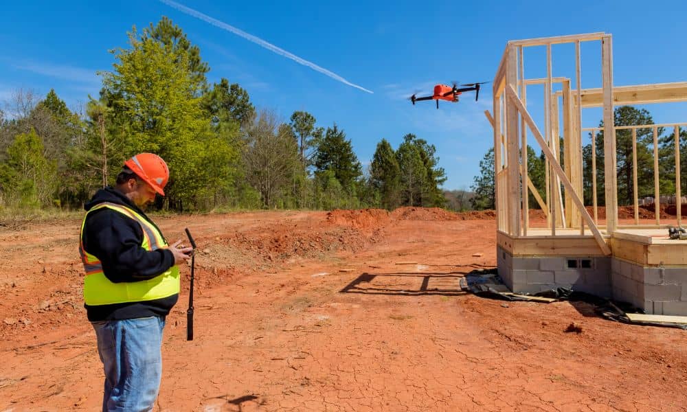
If you ask most builders in Troy what slows down a project, they will not say lumber or concrete. They will wait. Waiting on plans. Waiting on approvals. Waiting on site data. That is exactly why drone surveying is getting so much attention right now. Across Alabama, developers and property owners want faster answers. They […]
LiDAR Mapping: How the USGS Update Changes Projects
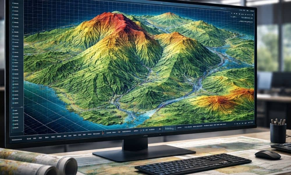
Big news recently changed how land data works across the country. The U.S. Geological Survey (USGS) finished its nationwide 3D Elevation Program, called 3DEP. In simple terms, the federal government now has updated elevation data for the entire United States. That includes Alabama. At first, this sounds like great news for people in construction, development, […]
Why a Land Survey Company Must Check PLSS Corners First
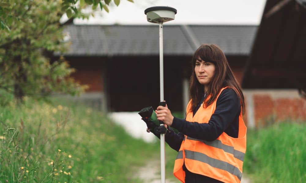
Buying land or owning property feels simple at first. You look at your yard, see the fence, and assume that’s the line. Maybe the neighbor points to a tree and says, “That’s the corner.” It sounds clear enough. However, property lines don’t begin with fences, trees, or guesses. They begin with something much older and […]