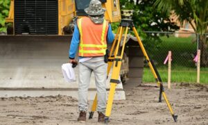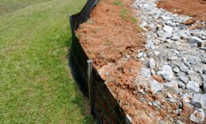
In Alabama real estate, property boundary disputes are more common than you might think. From overlapping deeds to unrecorded easements, these issues can create delays, legal problems, and unexpected costs for buyers, sellers, and developers. One of the most effective ways to avoid these headaches is by getting an ALTA survey.
An ALTA survey for real estate deals provides a detailed view of the property, including boundary lines, access points, easements, and improvements. It helps make sure that everyone involved in the transaction knows exactly what is being bought, sold, or financed.
What Is an ALTA/NSPS Land Title Survey?
An ALTA/NSPS Land Title Survey is a type of property survey used mainly in commercial real estate. It follows national standards set by the American Land Title Association (ALTA) and the National Society of Professional Surveyors (NSPS). These surveys are more detailed than a basic boundary survey.
An ALTA survey includes:
- Property lines and corners
- Buildings, fences, and other structures
- Easements (such as utility rights or shared driveways)
- Legal access to public roads
- Encroachments and other conflicts
In Alabama, lenders and title companies often require this type of survey before closing on commercial or high-value real estate.
Common Property Disputes
Overlapping Deeds or Inaccurate Descriptions
In some Alabama counties, especially rural areas, property descriptions may be outdated or unclear. This can cause overlapping deeds, where two parties claim the same land. An ALTA survey helps identify these overlaps before a sale is completed.
Unrecorded Easements
An easement gives someone the right to use part of another person’s property—for example, a utility company that needs access to power lines. Sometimes these easements aren’t recorded properly. An ALTA survey helps find and document these issues so they don’t surprise buyers later.
Lack of Legal Access
In Alabama, some properties (especially in rural or wooded areas) don’t have a clear road or path to a public street. This is called being “landlocked.” An ALTA survey checks whether legal access exists, and if not, helps buyers avoid a risky deal.
Encroachments
If a fence, driveway, or part of a building crosses onto a neighbor’s land, that’s called an encroachment. These are common in older neighborhoods like Birmingham and Montgomery. ALTA surveys show where these encroachments exist, which can prevent arguments or lawsuits later on.
Why an ALTA Survey Matters in Real Estate Deals
During a real estate transaction, everyone wants to be sure about what is being bought or sold. An ALTA survey for real estate deals helps:
- Avoid surprises after closing
- Give lenders and title companies the information they need
- Protect both the buyer and the seller from legal claims
- Confirm that buildings and improvements are within property lines
- Identify zoning violations or access issues before construction begins
When Should You Get an ALTA Survey?
An ALTA survey is a smart choice when:
- Buying commercial or high-value property
- Developing land or starting new construction
- Refinancing a property with a lender
- Buying land with unclear records or old documents
- The property has shared access, easements, or is in a dense urban area
Final Thoughts
In Alabama, real estate deals can be complex—especially when it comes to land boundaries, access rights, and title records. A professional ALTA survey in Alabama can help uncover important issues like unrecorded easements, encroachments, or inaccurate legal descriptions that may not appear in public records.
For anyone involved in buying, selling, or financing property, this type of survey provides an added layer of protection and reduces the risk of disputes. By identifying potential problems early, an ALTA survey supports smoother, more secure real estate transactions.


