How Construction Surveys Keep Housing and Business Projects on Track
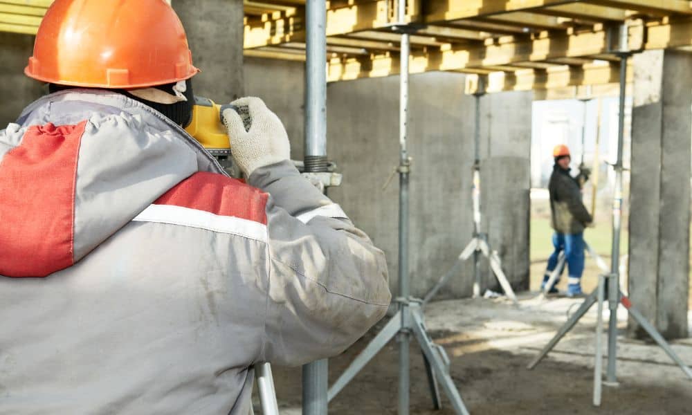
Chelsea is growing fast. If you’ve driven around lately, you’ve probably seen new neighborhoods, a business park, and even a hotel going up. Behind all this growth is one key step: a construction surveys. This survey lays the groundwork for smooth projects and keeps everything on track from start to finish. If you’re a developer, […]
How Traffic Engineer Fix Construction Chaos

Let’s be real, driving through Huntsville these days feels like a puzzle. Cones, detours, slowdowns… it’s a lot. But there’s a reason behind the chaos. A traffic engineer is working hard to keep the city moving. From smart lights to overpasses to speed changes, real improvements are happening. If you’re a business owner, developer, or […]
When Your Lot Isn’t Ready, Civil Engineering Makes It Happen

You’ve found the perfect piece of land in Birmingham. Maybe it’s a quiet lot in Crestwood, a hillside view near Red Mountain, or a wide-open space outside the city limits. You can already picture what will stand there a dream home, a new office, or the next big development. But then you hear the words […]