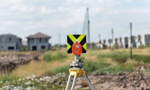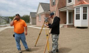
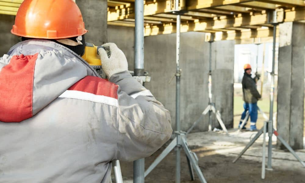
Chelsea is growing fast. If you’ve driven around lately, you’ve probably seen new neighborhoods, a business park, and even a hotel going up. Behind all this growth is one key step: a construction surveys. This survey lays the groundwork for smooth projects and keeps everything on track from start to finish.
If you’re a developer, builder, or business owner, you know how delays, boundary issues, or drainage problems can stall your project. A construction survey helps you avoid those problems right from day one.
Chelsea’s Growth Isn’t Slowing Down

Right now, Chelsea is one of the fastest-growing cities in Alabama. Over 650 new homes are on the way. Foothills Business Park is under construction. The city just broke ground on its first hotel. There’s even talk of retail and entertainment coming soon.
This kind of expansion is exciting. But it also raises a big question for anyone involved in building: Are you planning ahead or playing catch-up?
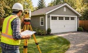
A construction surveys helps answer that question early. It maps out your site, confirms boundaries, and makes sure your project aligns with city codes before the first shovel hits the ground.
Why Construction Surveys Matters More Than Ever
A construction survey might seem like a small step, but in a fast-growing city like Chelsea—where lots are filling up quickly and land values are on the rise—it’s essential to start projects with a reliable construction survey. These surveys provide clarity before building begins, helping developers and property owners make better decisions and avoid surprises.
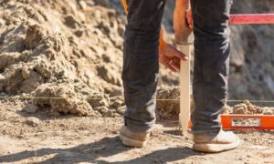
From marking where a structure should sit to planning slopes for drainage and utilities, a construction survey lays the groundwork for smoother, more efficient projects. Without one, the risks can include legal disputes, unexpected costs, or delays in securing permits.
Supporting Chelsea’s Business Park Development
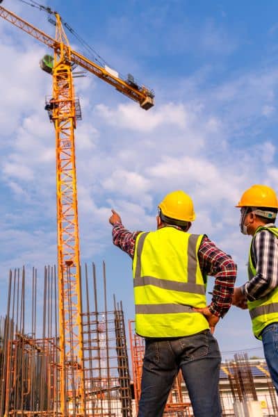
The new Foothills Business Park is bringing fresh opportunities and more space for local businesses. But before any buildings rise, surveyors play a key role in making sure the layout is accurate and ready for development.
From traffic flow and parking to drainage and utilities, everything starts with a construction survey. It’s the foundation that helps engineers, architects, and contractors move forward with confidence.
For companies considering leasing space or developing nearby property, working with land surveyors ensures projects are planned with local terrain and regulations in mind.
Helping the Housing Boom Run Smoothly
With hundreds of homes planned, neighborhoods in Chelsea are expanding fast. And while that’s great for the local economy, it means careful site planning is more important than ever.
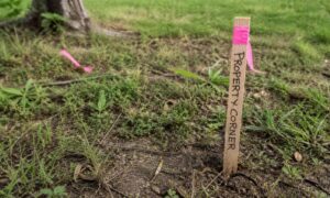
Construction surveys guide every part of that process marking property lines, setting building elevations, mapping roads, and planning utility lines. They help make sure homes are built correctly, safely, and in the right place from day one.
If you’re a builder, it’s not just about getting a survey. It’s about getting the right survey, done by people who understand Chelsea’s terrain, codes, and growth plans.
Avoiding Problems Before They Start
Building without a survey is like building without a plan. You might get lucky or you might end up with serious setbacks.
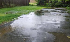
Surveys help prevent common problems such as: building too close to a neighboring property, foundations on unstable or uneven ground, drainage that floods your site or your neighbor’s and delays due to zoning or permitting issues.
These problems happen often, but they’re also avoidable. The right survey saves you time, money, and frustration.
Plan Smart. Build Better.
Chelsea’s future is bright. But with all the development happening at once, it’s easy to fall behind if you’re not planning ahead.
A solid construction survey gives your project the structure it needs to move forward with confidence. Whether it’s a single commercial lot or an entire subdivision, surveying is the foundation that makes everything else work.
Final Thoughts
Chelsea is changing quickly. That’s exciting, but it’s also a reminder that smart planning isn’t optional. Every successful project starts with understanding the land. And that’s exactly what a construction survey delivers.