If you live in a flood-prone part of Montgomery, Alabama and your home is built on a crawlspace foundation, getting an elevation certificate should be one of your first priorities. This document shows whether your crawlspace is above or below the Base Flood Elevation (BFE), which directly affects how vents are placed and whether your home meets FEMA’s flood zone requirements. With the right planning, you can avoid costly damage, pass inspections more easily, and secure the flood insurance you need.
Foundation Design Challenges in Montgomery’s Flood-Prone Zones
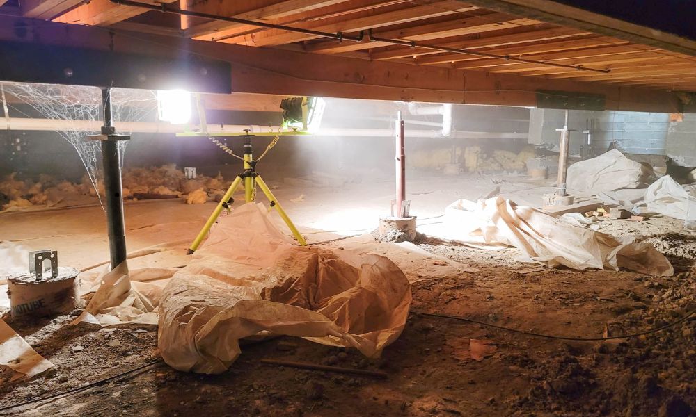
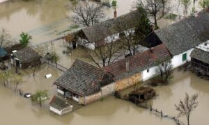
Montgomery’s low-lying neighborhoods often rely on raised crawlspaces. While these designs support airflow and moisture control, they become more complicated in flood zones. FEMA prohibits enclosed areas below BFE unless the space includes specific flood openings. If airflow is blocked or vents are misplaced, water can collect during a flood event, damaging materials or encouraging mold growth.
Builders must carefully plan for both airflow and flood protection at the earliest stages of the foundation layout.
Identifying the Intersection of Airflow and Elevation Standards
Flood vents are required in crawlspaces that lie below BFE. These openings must allow water to flow in and out during flooding events without human action. At the same time, they must support proper ventilation to keep the crawlspace dry.
An elevation certificate confirms whether the lowest floor, including the crawlspace, sits above or below the BFE. This information guides the type and placement of vents needed to comply with both FEMA and local codes.
Placement and Sizing of Flood Vents Based on Site Elevation
Accurate vent sizing depends on how much space is enclosed. FEMA requires one square inch of vent area for every square foot of enclosed crawlspace.Improper sizing or placement—especially on sloped lots—can result in failed inspections or reduced flood protection. To meet elevation and airflow standards:
- Vent openings must be placed no more than 12 inches above ground level.
- Vents should be on more than one wall to allow cross-ventilation.
- All openings must connect to the outside and remain unobstructed.
These factors must be checked against the site’s certified elevation data to avoid errors.
Managing Mechanical Systems Within Elevated Crawlspaces
Crawlspaces often house HVAC units, ductwork, and plumbing systems—all of which need special attention in flood-prone areas. These components must comply with elevation certificate requirements to avoid water damage and meet FEMA guidelines.

🔹 Elevate Mechanical Systems Above BFE
All mechanical equipment should be mounted above the Base Flood Elevation (BFE) using secure, flood-resistant platforms. This ensures the systems remain operational and protected during a flood.
🔹 Ensure Safe Access and Serviceability
While keeping equipment dry is crucial, it must also remain accessible for maintenance. Builders should consider ease-of-access when choosing elevation heights for platforms or utility supports.
🔹 Use Flood-Resistant Materials
Any ductwork or insulation used in crawlspaces should be:
- Rated for high moisture environments
- Properly sealed and anchored
- Resistant to mold and mildew
These simple steps can dramatically reduce the risk of flood damage, improve crawlspace airflow, and help meet local compliance standards.
Surveyor and Builder Collaboration in Sloped or Tiered Parcels
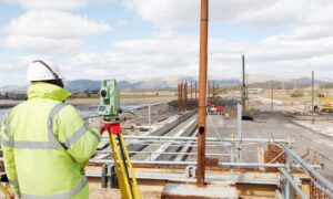
In sloped neighborhoods, vent placement must be adjusted to account for elevation changes across the site. Surveyors provide grade points that help define the right vent height on each wall. Builders then use this information to position vents and foundations accordingly.
Close collaboration ensures crawlspaces are not only compliant but functional for long-term use. The same elevation data can also be shared with mechanical and plumbing teams during construction.
Inspection and Documentation Readiness for Final Sign-Off
Once construction is complete, the final elevation certificate must reflect actual crawlspace elevations and vent placement. This certificate is often required for final inspection, insurance underwriting, and resale documentation.
Surveyors should confirm:
- The height of the crawlspace floor relative to BFE
- The number and size of vent openings
- The finished elevation of nearby grade points
Accurate documentation prevents delays during permitting and ensures the property remains compliant in the future.
FAQs
1. Are crawlspaces allowed in flood zones in Montgomery AL?
Yes, but they must follow FEMA rules for elevation and have properly sized and placed flood vents.
2. Can I use standard air vents instead of flood vents?
No. Flood vents must allow water to pass freely in both directions during flooding events.
3. What does an elevation certificate include for crawlspaces?
It shows the elevation of the crawlspace floor, vent placement, and surrounding grade, confirming FEMA compliance.
4. Is vent placement affected by sloped terrain?
Yes. On sloped lots, vent height must be adjusted according to the elevation on each side of the structure.
5. How can you help with crawlspace elevation planning?
We work with surveyors and contractors to provide certified data and layout support that ensures ventilation and elevation compliance from start to finish.


