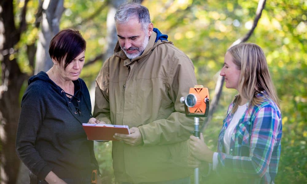
It started with a viral post: two neighbors arguing because one claimed the other had “moved the stakes.” The comments exploded—some said fences show the real property line, others insisted it’s wherever the metal pins are buried. The truth? None of them were completely right. When emotions run high and rumors spread online, only a boundary line survey can tell you where your property really begins and ends.
The Viral Confusion Around Property Lines
If you’ve ever scrolled through homeowner forums, you’ve probably seen it: heated debates about fences, markers, and mysterious boundary shifts. Some swear their property line “moved” after heavy rain. Others blame new flood maps for changing their yard size. These viral discussions grab attention because they hit close to home—literally.
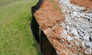
But here’s the real story. Property lines don’t move overnight, even when flood zones or zoning rules change. What often changes is our understanding of them. Stakes might get pulled out during landscaping. Old fences might not match recorded plats. And new maps might show flood zones overlapping private lots, which makes people panic—but those maps don’t redraw ownership.
What the Flood Map Story Teaches Us
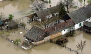
Homeowners in one community recently woke up to surprising news: updated flood maps had placed thousands of properties inside high-risk areas. People panicked. Some thought their property shrank. Others worried about rising insurance costs. The story spread fast because it hit a nerve—how can a map change what you own?
The lesson from that story applies everywhere, including here in Enterprise, Alabama. Flood map updates happen nationwide, and Coffee County could be next. When new maps arrive, some homeowners might see their lots marked inside new flood zones. It can feel like your property just shifted—but don’t panic. A boundary survey proves what’s legally yours, no matter how the maps look.
When Maps Change but Boundaries Don’t
Let’s clear up a common myth: flood maps are about risk, not ownership. They show areas that may be more likely to flood, not who owns the land. But when new maps appear, lenders, insurers, and buyers start asking questions. If your home suddenly shows up inside a flood zone, your bank might ask for an elevation certificate or a fresh boundary survey to confirm your property limits.
Instead of guessing—or arguing with your neighbor—it’s smarter to get a professional surveyor to verify your property lines. A clear survey turns confusion into confidence.
Why Boundary Surveys End Disputes Fast
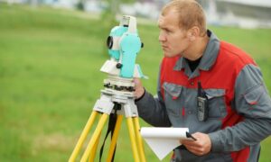
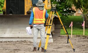
A boundary survey is the only reliable way to confirm your property’s exact edges. Licensed land surveyors don’t rely on fences or memories. They study your deed, old plats, and public records, then use GPS and precision instruments to locate your property corners.
If you’ve ever been in a disagreement about where a fence or tree stands, that’s when a boundary survey matters most. It gives both parties something objective—a legal document, not just opinions. Once the survey is done, the markers in your yard match the record on file. That means no more guessing, and definitely no more arguments about “who’s right.”
Surveys also protect relationships. When you show your neighbor the results from a licensed surveyor, it removes emotion from the situation. It’s not your word against theirs—it’s verified data that both sides can trust. And if you ever want that same level of clarity for your own property, working with a local team that offers accurate land surveying for property boundaries can give you the peace of mind that every corner of your land is exactly where it should be.
How Map Updates Spark Local Boundary Confusion

In places like Enterprise, many neighborhoods sit near creeks, slopes, or low-lying areas. When new flood maps are released, the lines can appear to cross into certain properties. That’s when homeowners start asking: “Did my lot change?” or “Did they take part of my land?”
The answer is no—but the misunderstanding is common. A boundary survey confirms your property’s true shape and size. Pair that with an elevation certificate, and you’ll know both your property limits and your flood risk.
That combination can also help with insurance. If your boundary survey shows that a flood zone doesn’t actually touch your home, your insurance premium may drop. A small investment in a survey can save you thousands later.
How to Check Your Property Before the Panic
You don’t have to wait for problems to start. You can take a few simple steps before new flood maps reach your area.
Start by reviewing your property deed and any existing survey documents you may have. If you see gaps or unclear measurements, that’s a sign to get them verified. Then, have a licensed surveyor check your property corners and update your records.
If anything seems off—or you’re unsure how your old survey lines up with new data—it’s best to call a local surveyor. They’ll confirm whether your legal boundary matches what’s on the ground. If needed, they can mark those lines again for clarity.
Why Hiring a Local Expert Matters
Every county has its quirks. In Coffee County, older rural properties often rely on outdated plats or hand-drawn maps. Some markers may be buried, missing, or eroded. A licensed land surveyor who knows the area can spot problems early. They understand local terrain, drainage patterns, and how property boundaries connect with nearby flood zones.
Hiring a local expert also means faster answers. They know which records to check, how to navigate county offices, and what documents lenders or insurers might need. That familiarity saves time and prevents unnecessary stress during property transactions or disputes.
Don’t Wait for a Dispute to Start
It’s easy to ignore property line questions—until a fence goes up or a flood map changes. By the time neighbors start arguing, the damage to relationships and budgets can already be done.
The truth is simple: property lines don’t move, but markers and maps can make them seem like they do. Before confusion turns into conflict, have a professional surveyor verify your boundaries. It’s faster, cheaper, and far less stressful than dealing with complaints later.
The Bottom Line
The internet loves a good “stakes moved” story, but your peace of mind shouldn’t depend on online debates. Whether flood maps update, fences shift, or stakes disappear, your legal property lines stay the same—and a boundary survey keeps them clear.
Before the next neighborhood argument goes viral, get the facts straight. Call a licensed surveyor and let verified boundaries—not opinions—define your property. That way, you can enjoy your home without wondering where your land truly ends.
