Montgomery, Alabama is changing fast. New neighborhoods, commercial spaces, and infrastructure projects are popping up all over the city. With this kind of growth, land developers need tools that help them move quickly while still staying accurate and within budget. One of the most effective tools being used today is LiDAR mapping.
Whether you’re a builder, developer, or property owner, understanding what LiDAR can do might help you save time, reduce costs, and plan smarter. In this article, we’ll look at five big reasons why LiDAR mapping is making a difference in land development—especially right here in Montgomery AL.
1. High Accuracy for Smarter Planning
LiDAR works by sending laser pulses from a drone or airplane down to the ground. Those pulses bounce back and help create an incredibly detailed 3D map of the land.
This level of accuracy is perfect for identifying changes in elevation, slopes, and hidden features like dips or small hills. In Montgomery, where a lot of land has mixed terrain—flat areas, trees, and water features—LiDAR gives developers a clearer picture from the very beginning. That means fewer surprises later on and better decisions from the start.
2. Faster Project Turnarounds with Drone Mapping
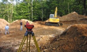
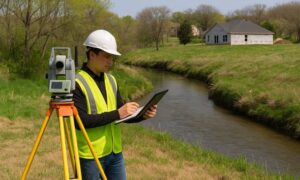
In land development, time is money. Traditional surveying methods can take days or even weeks to complete, especially on large or uneven properties. But with LiDAR, drones can cover wide areas in just a few hours.
This speed helps projects move from planning to permitting much faster. For developers in Montgomery trying to stay ahead of deadlines and avoid delays, this is a huge benefit. Plus, the data can be processed quickly and used right away by engineers and architects.
3. Better Data for Zoning and Infrastructure Decisions
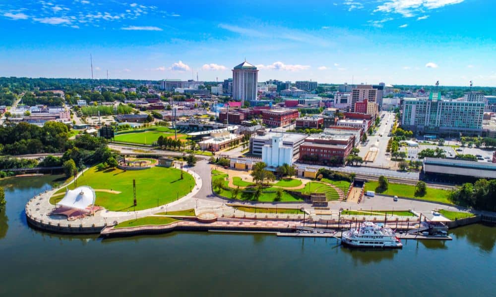
Montgomery continues to grow with new roads, schools, and subdivisions. Planning all that infrastructure takes more than just guesswork—it requires accurate, high-quality land data.
LiDAR provides detailed models that help with zoning decisions, utility layouts, stormwater planning, and environmental impact assessments. Whether it’s determining how water will flow across a site or where to put drainage systems, LiDAR helps make sure those decisions are based on real data.
4. Safer Access to Challenging or Remote Sites
Some properties in the Montgomery area include wooded areas, steep slopes, or wetlands. Surveying those locations on foot can be time-consuming and sometimes even dangerous.
LiDAR mapping allows surveyors to collect data from the sky using drones. This keeps workers safe and also makes it easier to map hard-to-reach places without disturbing the environment. It’s a win-win for safety and efficiency.
5. Stronger ROI for Developers and Investors
Using LiDAR mapping often leads to long-term savings. It reduces the need for multiple site visits, minimizes errors, and helps developers avoid costly rework. When your plans are based on detailed, reliable data, you can build with more confidence and less risk.
For real estate investors and developers in Montgomery AL, this kind of insight can be the difference between a smooth project and one full of delays and budget issues.
Real-World Use Case: A Development Success Story in Montgomery AL
One local developer used LiDAR mapping early in a 50-acre residential project near east Montgomery. The detailed elevation data revealed low spots on the land that would have been a drainage problem. Because they caught it early, the team was able to adjust the layout before construction began—saving time, money, and future complaints from homeowners.
This is just one of many ways LiDAR is helping developers build smarter across Alabama.
FAQs
- What types of projects benefit most from LiDAR?
Large-scale developments, road design, environmental studies, and land grading projects all benefit from LiDAR’s detailed terrain data.
- Is LiDAR legal for use in residential neighborhoods?
Yes, LiDAR is safe, legal, and commonly used in residential planning—especially when done by licensed professionals.
- How long does a LiDAR survey take?
For most medium to large sites, data collection takes a few hours, and full results are often available in just a few days.
- Can I reuse LiDAR data for future site changes?
Absolutely. The data is stored digitally and can be reused if the land is later expanded or repurposed.
- How much does LiDAR mapping cost in Montgomery AL?
Costs vary based on land size and complexity, but typical projects range from $3,000 to $10,000+.
Use LiDAR Mapping to Build Smarter in Montgomery AL
As Montgomery continues to grow, smart development is more important than ever. LiDAR mapping offers accuracy, speed, and peace of mind for developers and property owners who want to make the most of their land.
If you’re starting a new project in Montgomery AL, working with a trusted LiDAR surveying team is a smart first step. It’s an investment that pays off through better planning, faster timelines, and fewer mistakes.