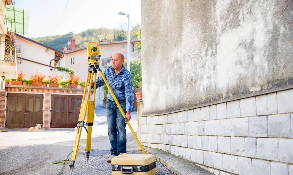
When heavy storms sweep across Central Alabama, homeowners in Vestavia Hills feel the impact right away. Flash floods, steep driveways, and shifting soil can leave properties looking different overnight. That is why a boundary survey becomes more important after a storm than many people realize. It’s not only about knowing where your land starts and ends—it’s also about protecting your investment, keeping peace with neighbors, and staying on the right side of local rules.
Storms and Shifting Ground
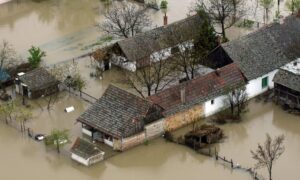
Vestavia Hills is known for its rolling hills, wooded lots, and neighborhoods that sit near creeks and drainage basins. While that natural beauty is a big part of the area’s charm, it also creates risks when storms hit. Heavy rains can wash away small landmarks, bury survey pins under mud, or erode corners of a yard.
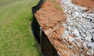
A storm that brings just a few hours of pounding rain can alter the slope of a driveway, shift soil near a retaining wall, or change the way water drains across a property. If your property markers aren’t clear after this, you may end up making repairs or improvements in the wrong place. That mistake can cost time, money, and even create disputes with neighbors.
Why Boundaries Matter More After Heavy Rain
In everyday life, most people don’t think about property lines until they need to build a fence or sell their home. But after a flood or storm, boundaries take on new meaning. Erosion can move soil in ways that confuse where one yard ends and another begins.
Imagine a neighbor fixing a washed-out fence line. Without a survey, they might rebuild a few feet into your property. Or maybe you want to add new drainage swales or a small wall to protect your yard. If you place them outside your legal boundary, you could run into issues when it’s time to get a permit.
A fresh survey makes sure everyone is working from the same map. It sets the record straight before misunderstandings turn into problems.
Vestavia’s Rules and Why They Matter
The City of Vestavia Hills takes stormwater management seriously. Local regulations require homeowners and contractors to control runoff when adding hardscapes like patios or retaining walls. After a storm, inspectors often look more closely at drainage projects.
If your property lines aren’t verified, you might fail to meet these stormwater rules. That can mean delays in getting a permit, fines for non-compliance, or being asked to redo work. A boundary survey makes compliance smoother because it shows exactly where your land ends. It gives you a legal record you can show to the city if questions come up about your project.
What Surveyors Look For After Storms
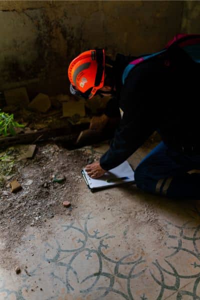
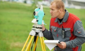
When a licensed surveyor comes out after heavy rains, they do more than just locate pins in the ground. They check how water has changed your property. Did runoff expose or bury markers? Did a ditch cut deeper than before? Did soil movement push a fence post or retaining wall?
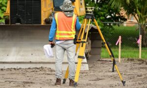
Surveyors often take spot elevations on slopes, measure the grade of driveways, and map swales or culverts. This helps you see how your land drains after a storm. That information can be used later for improvements, insurance claims, or planning future projects.
By documenting your property lines and changes in the landscape, a survey creates a clear snapshot of your land’s condition. It’s proof that protects you if questions arise.
When a Boundary Survey Leads to More
Sometimes, a boundary survey is enough. Other times, it reveals that you need more detailed work. For example:
- If flooding risk seems high, you may need an elevation certificate to adjust insurance.
- If soil is washed out and you plan to regrade, a topographic survey will guide drainage design.
- If you’re rebuilding a wall, patio, or addition, a construction staking survey makes sure everything goes in the right spot.
Boundary surveys are the foundation. They show you where you stand, and from there, you can decide what extra steps are worth taking.
How Homeowners Benefit
The biggest win for homeowners is peace of mind. Knowing exactly where your land ends helps you:
- Avoid conflicts with neighbors making storm repairs.
- Protect your investment by keeping fences, drains, or walls on your side of the line.
- Stay compliant with stormwater regulations.
- Be ready for future property sales or insurance claims.
For realtors, a recent boundary survey can reassure buyers that even after storms, the property is well-documented. For families, it prevents awkward disputes that can sour good relationships.
Why Timing Is Key
Some homeowners wait until they plan a big project before ordering a survey. After storms, that can be too late. By then, you may have already spent money on repairs that need to be redone. Ordering a survey soon after heavy rains gives you a current record. It helps you act quickly on drainage fixes or storm damage repairs without second-guessing property lines.
Final Thoughts
In Vestavia Hills, heavy rains are part of life. But they don’t have to bring confusion about your land. A boundary survey after a storm is a simple step that brings clarity. It protects your property, helps with compliance, and prevents neighbor disputes before they start.
If your yard, driveway, or retaining wall took a hit during the recent storms, don’t leave things to chance. A professional surveyor can confirm your property lines and give you a clear plan for moving forward. That way, you can rebuild with confidence, knowing every improvement is solid, safe, and truly yours.
