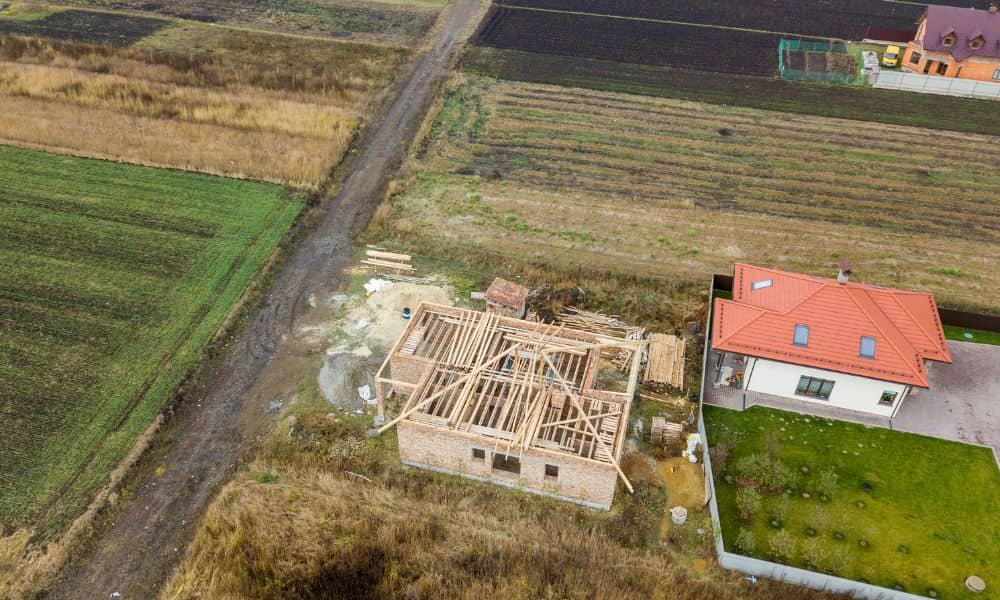
Viral Feud: Could a Drone Survey Really Settle It?

When a neighbor dispute turns messy, people often pick sides. But today, arguments spread faster than ever online. In the last year, we’ve seen videos of fences getting torn out, property lines argued over in the street, and homeowners fighting about trees and rocks. Some of these moments went viral because someone pulled out a […]
Why an Aerial Survey Is Exposing a Hidden Flood Problem

When a city announces a new flood study, most people scroll past the headline. But this week, one story stood out. Midland, Michigan launched a major effort to update its flood maps using aerial mapping, homeowner reports, and property-level data. And it matters more than you might think—especially if you live in Dothan. Dothan gets […]
Beat the Clock: Schedule Your ALTA Land Title Survey Early

When the City of Huntsville approved a new $240 million retail center in North Huntsville, it marked another big step in the city’s growth story. New stores, restaurants, and office spaces are on the way, and construction teams are already lining up their next moves. But behind every successful project like this, there’s something most […]