When a neighbor dispute turns messy, people often pick sides. But today, arguments spread faster than ever online. In the last year, we’ve seen videos of fences getting torn out, property lines argued over in the street, and homeowners fighting about trees and rocks. Some of these moments went viral because someone pulled out a phone, or a drone, and filmed it from above. That is exactly why a drone survey is becoming more important for homeowners and land buyers everywhere.
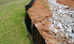
Recently, a dispute involving a large pile of boulders exploded online. One homeowner claimed the rocks sat on their land. Their neighbor disagreed. Both pointed to old markers, old fences, and “what the land has always looked like.” The videos sparked a huge debate. People argued about who really owned the strip of land. Some blamed the man who moved the rocks, while others said the boundary was unclear. It got so heated that millions watched and commented.
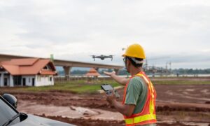
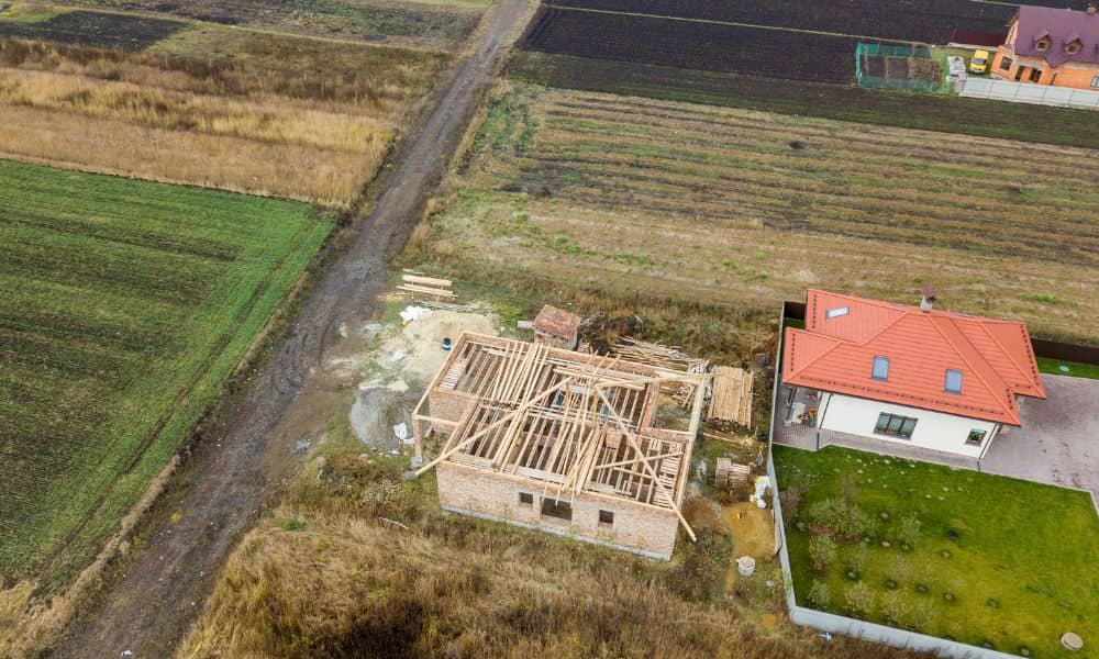
Soon, a drone captured aerial footage of the property. The view from above showed the area more clearly than any phone camera could. That footage didn’t solve the conflict legally, but it changed the tone of the online conversation. People could finally “see” the land. And that is when more viewers asked the same question:
Why wasn’t there a proper survey done first?
When a Viral Video Isn’t Enough
A viral video makes things dramatic and emotional. It makes people react. But it rarely proves anything. That is where reality kicks in.
Phone videos show:
- opinions
- angles
- guesses
- confusion
A drone survey, on the other hand, shows:
- correct map references
- precise measurements
- accurate details
- verifiable boundaries
And unlike random drone footage, a drone survey becomes real evidence. Local officials, attorneys, and even judges take it more seriously than shaky clips from social media. That’s why more property disputes now involve professional surveyors who use drones.
Why Disputes Like This Keep Happening
Most conflicts begin the same way:
Someone believes the property line is in one place. Someone else believes it is somewhere else. Neither has a recent survey. Both trust memory or old fences. Before long, small problems turn into major fights.
In many older neighborhoods, especially around Enterprise, property markers get buried or removed. Trees grow over them. Fences lean. Corner pins disappear. Over decades, the land looks different than it did on paper. That confusion leads to trouble.
Then comes the spark: Trees get cut, Shrubs get removed, Rocks get shifted, Land gets cleared, Driveways get extended. And suddenly, someone claims, “You’re on MY land.”
Why the Drone Angle Changed Everything
The first viral video only showed frustration. People yelling. Dirt being pushed. Rocks being removed.
The drone changed the story because:
- It revealed the full layout.
- It showed both properties at once.
- It captured the big picture.
- It removed emotional framing.
Viewers understood the situation differently. But even then, there was still a missing piece. The homeowners needed a licensed professional to verify what the drone showed. Because only a surveyor can legally confirm the line.
Drone Survey = Clear Proof
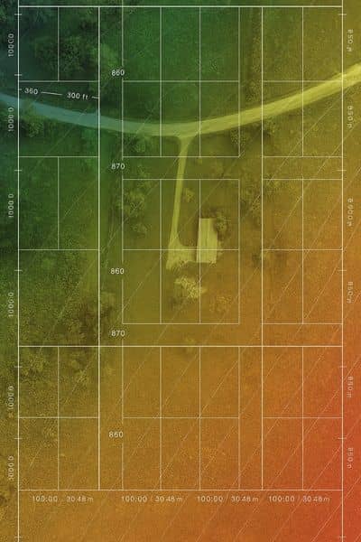
Drone surveys give the clarity homeowners need. The imagery connects to real ground control points. It captures exact elevation changes. It maps details that regular eyes can’t see. And it ties visuals to the legal boundary.
In simple terms:
Drone survey = aerial footage that is accurate AND official.
That’s why it is becoming the modern approach to boundary issues. Especially when land is wooded Or uneven Or difficult to access Enterprise has plenty of properties like that.
Why Homeowners Care
Here in Enterprise, land disagreements happen more often than most people expect. The layout of a property can be confusing, especially when trees, hills, and old fences hide where the line really is. That’s why survey mapping plays a big role today—it helps people see their property clearly instead of relying on guesswork.
Older parcels, uneven ground, and missing markers often create uncertainty. When no one is sure where the line is, tension grows quickly.
A drone survey helps prevent neighbor conflicts, lawsuits, construction mistakes, and costly fence relocations before they ever begin.
Before the Situation Explodes…
Homeowners should act early.
As soon as you feel unsure. As soon as you notice changes near the line. As soon as you plan to build something.
It doesn’t matter if it’s small:
- a shed
- a dog pen
- a driveway extension
- a fence upgrade
Most major disputes started with something small.
If A Dispute Starts, Here’s the Best First Move
Stay calm. Don’t argue. Don’t touch anything. Get information. Gather documents. Then call a licensed surveyor. The sooner the facts are clear, the faster the problem settles. Sometimes, a drone survey is the only way to show the true layout.
The Cost of Doing Nothing Is Higher
People always ask:
“Do I really need a survey?”
Here’s the truth:
You either spend a small amount now or a big amount later. Later comes with: lawyers court stress lost land lost money lost time Drone survey gives clarity before chaos begins.
The Future of Property Disputes
The world is changing fast. More things go viral. More fights get recorded. More arguments happen online. But also: More evidence is digital. More property data is visual. More solutions are clearer. So it makes sense that the drone survey is becoming the new standard proof. Not because it looks cool. But because it is accurate.
Final Thought
A viral fight is entertaining to watch online. But in real life, it can ruin friendships, families, and neighborhoods. The safest choice is knowing the facts early.
If you live in Enterprise or nearby areas, and something is happening near your property line, don’t wait until emotions explode. Reach out to a licensed professional and consider a drone survey before things escalate.
Clear land boundaries bring peace. Knowledge protects your property. And evidence prevents regret.
