Topographic Mapping for Drainage on Sloped Lots
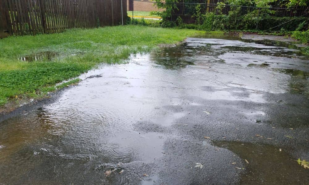
A sloped lot in Daphne can look perfect at first glance. The ground feels firm. The angle seems manageable. It looks like a great place to build. Then a heavy rain comes through. Water starts moving across the land, and suddenly the “perfect” lot shows a different side. Low spots fill up. Runoff moves faster […]
As-Built Survey: What Gets Checked Before Final Approval

You finally finished your detached garage. Or maybe a backyard shop you’ve been planning for months. Everything looks good. The structure stands strong, the space is ready, and you’re already thinking about how you’ll use it. Then the final approval gets delayed. That throws a lot of people off. In most cases, it’s not about […]
What Is an ALTA Survey and Why It Matters for Your Property
Buying property in Huntsville is a major move. Whether you’re looking at a historic home near Twickenham or a commercial development near Arsenal, the first thing you really want to know is what you’re actually dealing with on the ground. In some cases—especially with bigger or more complicated deals—an ALTA survey is what gets used […]