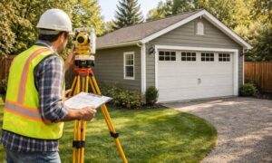
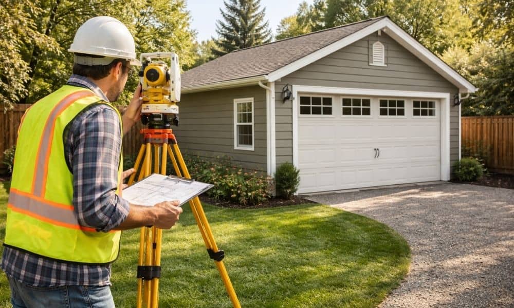
You finally finished your detached garage. Or maybe a backyard shop you’ve been planning for months. Everything looks good. The structure stands strong, the space is ready, and you’re already thinking about how you’ll use it. Then the final approval gets delayed. That throws a lot of people off. In most cases, it’s not about poor construction. It usually comes down to small differences between what was planned and what actually got built. Even a slight shift can slow things down. That’s usually when an as-built survey after construction comes into the picture. It shows how the structure really sits on the lot and helps clear things up so the project can move forward without more delays.
What As Built Surveys Show After Construction
An as-built survey shows what your property actually looks like once the work is done. It lays out where the structure sits and how big it really is.
During construction, small changes happen all the time. Crews adjust things on site. A slab might shift a bit. A driveway might get moved to make access easier. At the time, none of that felt like a big deal.
Then the final review comes around, and those details start to matter. Inspectors need to see that the finished structure still lines up with what was approved. That’s when an as-built survey for a finished structure helps, since it shows exactly what’s there and clears up any questions before approval.
It focuses on the current layout, not the original plans or early stages. In the end, it answers a simple question: does what you built match what was approved?
Why Detached Structures Often Face Approval Delays
Detached structures come with their own challenges. They don’t always sit out in open space. In many cases, they’re placed close to property edges or fitted into tight areas to make better use of the lot.
Because of that, even a small shift can cause problems.
For example, a garage might end up a few feet closer to the edge of the property than expected. A shop might be built slightly larger than planned. A driveway might change direction to work around a tree or slope.
Those changes usually happen for practical reasons. Builders make decisions on the spot to keep things moving. Still, final approval depends on what was approved, not what felt easier during construction.
That gap between plan and reality is where delays begin.
What Surveyors Check Before Final Approval
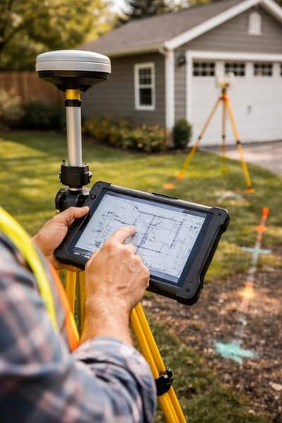
A land surveyor doesn’t just glance at your structure. They measure everything carefully and compare it to the approved layout.
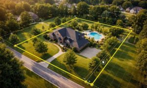
They start with location. Where exactly does the structure sit on the lot? The distance from property edges matters, and even a small difference can hold up approval.
Then they check the footprint. That includes the length and width of the structure. Even slight changes in size can raise concerns during review.
They also look at how the detached structure sits in relation to other buildings. The space between your home and the new structure needs to match what was planned. If it’s too tight, it can create access or safety issues.
Access points matter too. If there’s a driveway or path leading to the structure, its position should match the approved layout. A small change here can still affect approval.
They also check for anything that doesn’t line up with the original plan. That includes parts of the structure sitting outside allowed areas or not matching the intended layout.
At the end of the day, it all comes down to accuracy.
Small Changes That Turn Into Big Problems
Most approval delays come from small adjustments made during construction.
A slab gets poured a little wider than planned. The structure shifts slightly during placement. The driveway moves for easier access. An extra section gets added without updating the plans.
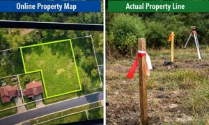
Each change makes sense at the moment. But when you look at the whole project, those changes create a mismatch between the approved plan and the finished structure.
That mismatch often doesn’t show up until the final stage. By then, fixing it can take time and cost more than expected.
An as built survey helps catch those issues early before they turn into bigger problems.
When to Schedule an As Built Survey
Timing plays a big role in how smoothly your approval process goes.
The best time to schedule an as-built survey is right after construction is finished but before the final inspection. This gives you time to check if everything lines up.
If something is off, you still have time to fix it. Waiting too long can make things more stressful and lead to rushed decisions.
Getting ahead of it keeps the process simple.
How As Built Surveys Help You Avoid Costly Fixes
Skipping this step can lead to bigger problems than expected.
If a structure doesn’t pass final approval, changes may be required. That could mean adjusting parts of the building, reworking concrete, or fixing layout issues. These fixes often cost more than the survey itself.
An as-built survey gives you a clear picture before things go that far. You know where your structure stands and what needs attention, if anything.
That clarity helps you move forward with confidence.
Why Working With a Local Surveyor in Talladega Matters
Local experience makes a difference, especially near the end of a project.
A surveyor who works in Talladega understands how local properties are laid out and what inspectors typically look for. They’ve seen how detached structures are placed and where problems usually come up.
Because of that, they can spot issues early and help you avoid delays that might otherwise slow things down.
Moving Toward Final Approval With Confidence
Finishing a detached structure feels like the last step. You expect everything to move quickly from there.
But final approval depends on more than just finishing the build. It depends on making sure everything lines up the way it should.
As built surveys give you that final check. They confirm that what you built matches what was approved. That simple step can save time, reduce stress, and keep your project on track.
If you’re wrapping up a detached structure, verifying the final layout is one of the smartest moves you can make before approval.