Buying a home is exciting. You imagine cozy porches, quiet streets, and a safe investment for your family. But one small mistake can turn that dream into a nightmare: ignoring a boundary line survey. Even a tiny error in property lines can cost thousands in legal fees, delay closings, or spark disputes with neighbors.
This is more than a technical step in buying property—it’s a safeguard for your money, peace of mind, and future. Let’s explore a cautionary tale that every homebuyer should hear.
A Real-Life Property Dispute
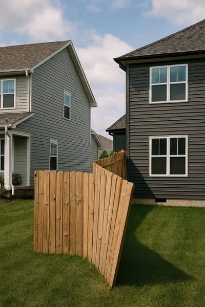
Consider this scenario: a family bought a lot near a quiet neighborhood in Daphne. They relied on old maps from the county office, skipped the professional survey, and began building a new fence. Everything seemed fine at first. But when a neighbor noticed the fence encroaching just a few inches onto their land, tensions rose.
The neighbor demanded that the fence be moved. The family faced unexpected legal letters, threats of a lawsuit, and costly survey fees to resolve the dispute. In total, a mistake that could have been prevented with a boundary line survey turned into months of stress and thousands of dollars in extra costs.
Stories like this are not unusual. Even minor discrepancies—like an old fence line, a tree, or a driveway—can create confusion about property ownership. And in Daphne, where many lots have irregular shapes or old deeds, it happens more often than you might think.
Why a Boundary Line Survey Matters
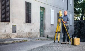
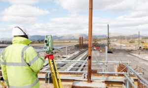
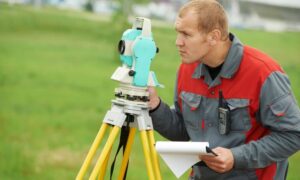
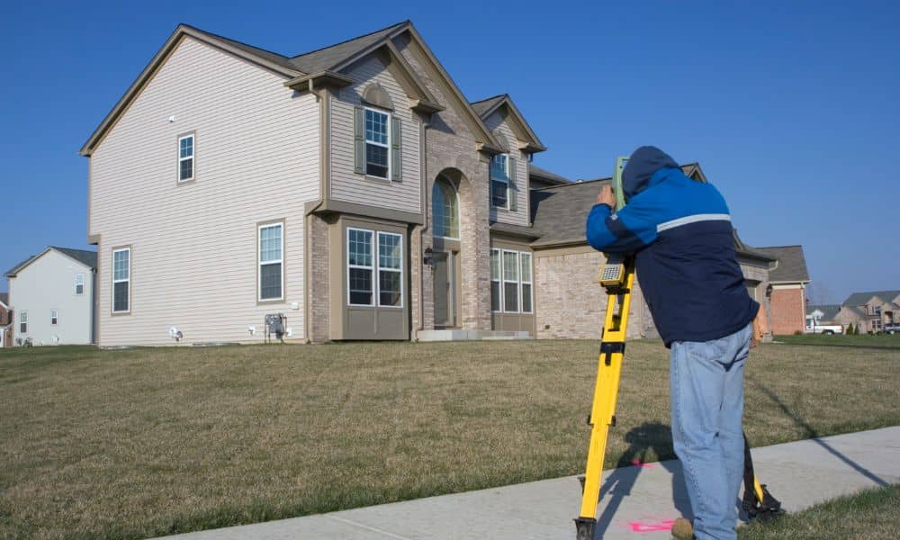
A boundary line survey identifies the exact borders of your property. It clearly shows your property lines, so you know precisely where your land ends and your neighbor’s begins. Surveyors examine legal deeds, previous surveys, and subdivision plats, then measure your land using professional tools like GPS or total stations.
This survey is more than just a map. It provides:
- Physical markers that define your boundaries
- Documentation for legal and lending purposes
- Identification of any encroachments or easements
For homebuyers, this step is critical. It prevents disputes before they start, ensures your fence, garage, or addition stays on your land, and protects your investment from surprises that could derail a closing.
Common Mistakes Homebuyers Make
Many buyers skip surveys because they assume:
- The previous owner’s map is accurate
- Title insurance will cover all issues
- Minor encroachments don’t matter
These assumptions are risky. Old maps may be outdated. Title insurance does not always solve disputes between neighbors. Even a small encroachment can escalate into legal battles, delaying construction or sale.
A boundary line survey solves these problems upfront. It identifies mistakes early, so you can fix them before they become costly.
Lessons from Daphne’s Cautionary Tale
From our example story, here are the key takeaways every homebuyer should know:
- Verify Before You Buy: Before signing any papers, make sure you understand exactly what you’re buying. Having a professional check your property lines through proper property boundary verification can prevent surprises later.
- Check Old Surveys Carefully: Maps from years ago might not match today’s landscape or lot markers.
- Avoid Neighbor Conflicts: Clear, documented boundaries help keep relationships friendly and avoid disagreements.
- Protect Your Investment: Fixing mistakes after purchase can be costly, so it’s better to get it right the first time.
By paying attention to these points, you save time, money, and a lot of unnecessary stress.
Why Daphne Homes Are Unique
Daphne has charming neighborhoods, but its properties come with some quirks. Many lots are older or irregular in shape. Trees, rolling hills, and historical subdivisions can make it hard to know exactly where your property ends.
In these conditions, relying on old documents alone is risky. A boundary line survey ensures that you see the full picture and avoid surprises. Whether you are building a new addition or installing a fence, clarity is critical.
Modern Tools Make Surveys More Accurate
Today, surveyors use advanced technology like drones and GPS. Drone land surveying provides a detailed aerial view of properties, mapping the terrain and helping identify potential boundary conflicts.
By combining traditional measurements with modern tools, licensed land surveyors give you the most accurate information possible. This reduces mistakes and gives homebuyers confidence that their property lines are correctly defined.
Choosing the Right Surveyor
Not all surveyors are the same. When selecting a professional, consider these points:
- Choose a licensed land surveyor with local experience.
- Ask if they use modern tools like drones or GPS mapping.
- Confirm they provide clear documentation and legal descriptions.
Working with a surveyor who does thorough, professional land surveying gives you confidence that your property lines are accurate. They can catch potential issues early and coordinate with builders or title companies, making your transaction go smoothly.
Conclusion:
The story of the fence in Daphne is a warning for every homebuyer: a small oversight can turn into a major problem. A boundary line survey is more than paperwork—it is a shield against disputes, legal headaches, and lost money.
Whether you’re buying your first home, building an addition, or investing in property, take the time to get a professional survey. It protects your rights, your relationships, and your investment. Don’t let a boundary error ruin your dream—get clarity first and peace of mind always.
