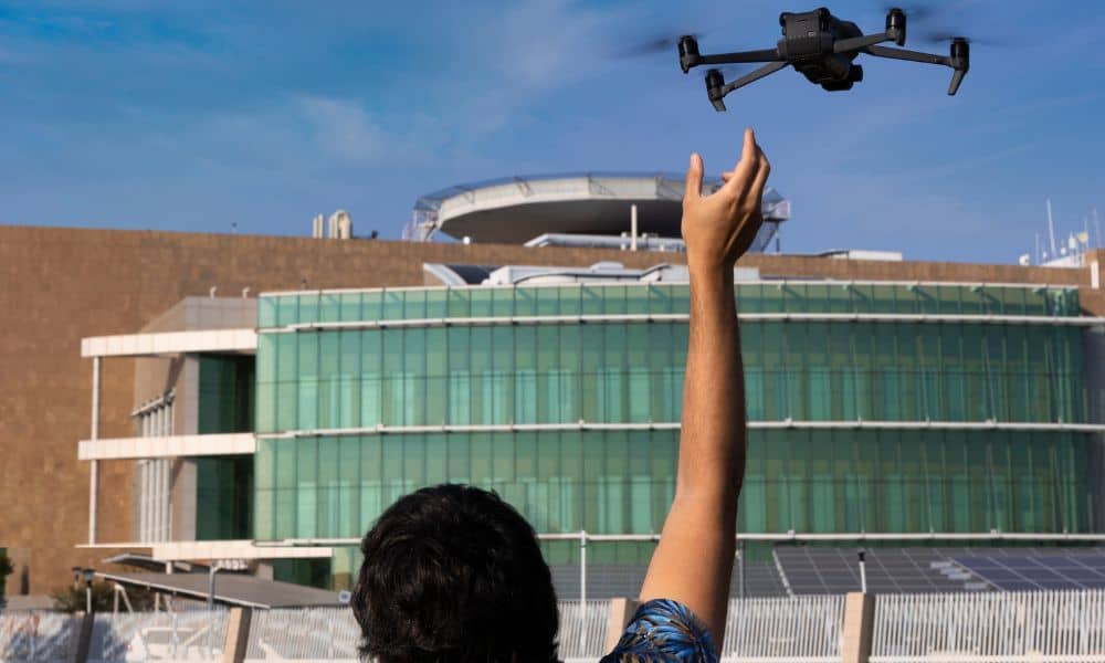
Across the U.S., cities are starting to rethink how drones are used in public spaces. In late October, Raleigh, North Carolina, passed new rules limiting when and where drones can take off or land in city parks. The move quickly got attention from engineers and surveyors who rely on drone mapping for city and construction projects. For professionals, these new rules raise a big question: could local laws soon change how drone mapping is done here too?
The City vs. FAA Puzzle
Drone pilots often deal with two sets of rules. The Federal Aviation Administration (FAA) controls the sky, but local governments control the ground. That means even if the FAA allows you to fly over a park, the city can still stop you from launching or landing your drone there.
For mapping crews, this can cause real trouble. A contractor may plan to collect site images near a park, only to learn that the launch spot is on city property that needs permission first. If that approval takes time, the flight might be delayed—costing hours, money, and good weather for the job.
Why It Matters in Tuscaloosa
Tuscaloosa is growing fast with new homes, road work, and park upgrades. These projects depend on accurate aerial data. Engineers and builders use drone mapping to take updated photos, build 3D terrain models, and track grading progress. It’s quick, precise, and helps everyone see the project from above.
But if city rules change, those same projects could face delays. Even small rules—like needing a permit to launch from public land—can slow things down. Crews might have to move their take-off area, change their flight path, or wait for written approval. What looks simple on paper can easily shift a project’s entire schedule.
A New Wave of Local Drone Rules
Raleigh isn’t the only city tightening its drone laws. Across the country, some city leaders are setting limits after residents raised privacy and safety concerns. While most new rules target hobby flyers, commercial operators often get caught in the same mix. The result is confusion.
Some cities now ask drone pilots to register locally, even if they already have FAA licenses. Others require notice before any flight over public property. For small engineering firms that work in different cities, keeping up can be tough.
For crews, the message is simple: watch what other cities are doing. Drone laws tend to spread, and what starts in one city can appear in the next before long.
The Coming FAA Update

While cities set local rules, the FAA is planning a big change of its own. Its new BVLOS (Beyond Visual Line of Sight) rule will soon allow licensed pilots to fly farther without a spotter watching from the ground. This could make drone mapping faster and more useful for large sites.
Still, the new rule will also bring stricter safety steps. The FAA wants drones to avoid other aircraft automatically and be tracked digitally. Reports from Vertical Mag and DRONELIFE say operators may need better sensors and more training. For Tuscaloosa’s drone teams, this means investing in upgraded gear to stay compliant and safe.
How It Affects Developers and Contractors
Picture a road-widening project near Tuscaloosa. The builder needs weekly drone mapping updates to track grading and drainage work. If their launch point is near a park, the city might soon require a permit. Getting that approval could take days, causing setbacks and more costs.
That’s why it’s smart for clients to work with mapping teams who know both FAA and city rules. Skilled drone professionals can plan safe flights, avoid restricted areas, and still capture every detail needed for accurate maps. They also keep insurance, flight logs, and permissions ready—things many cities now ask for.
What to Ask Before Hiring a Drone Mapping Team
Before you sign a contract, ask simple questions like:
- “Do you have permission to launch here?” Good operators always confirm who owns the land.
- “Are you following Remote ID rules?” This ID helps cities and the FAA know which drone is flying.
- “How do you keep people safe on-site?” Look for answers about clear zones, signs, or flight monitors.
When these basics are covered, you’ll avoid delays and get smoother project updates.
Balancing Progress and Safety
Drone mapping has changed how surveyors and engineers work. What once took days on the ground now takes an hour in the air. High-resolution photos, terrain maps, and accurate volume data come from just a few flights.
But as drones become common, cities are under pressure to manage them better. They must protect public spaces and privacy while still allowing innovation. The goal isn’t to stop progress—it’s to make it safer and more organized. For local professionals, that means staying flexible and learning new rules as they come.
Looking Ahead
So, what’s next for Tuscaloosa? A total ban on drones is unlikely. What’s more realistic is a set of clear local guidelines: approved launch zones, standard permits, and better communication between city planners and drone operators. These steps might sound restrictive, but they actually help build trust and safety.
For now, developers and surveyors should treat airspace and land rules equally. Always check who owns your take-off spot, review flight notices, and coordinate with the city’s engineering or GIS office. With that approach, drone mapping can stay compliant, efficient, and ahead of the curve.
