
Drone Surveying: Why Ground Control Points Matter
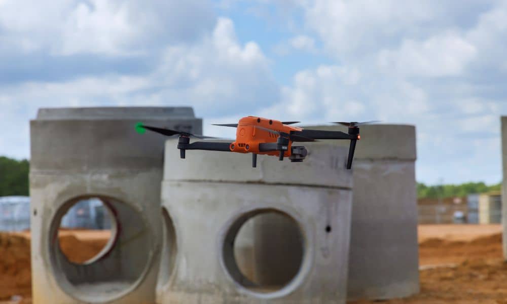
Drone surveying has changed the way many development projects begin. Today, builders, engineers, and property owners use drone surveying to map land faster and collect detailed site data before construction starts. A drone can fly over a property in minutes and capture thousands of measurements. However, one important detail often gets overlooked. The drone itself […]
Survey Markers Gone? Why Land Surveying Matters
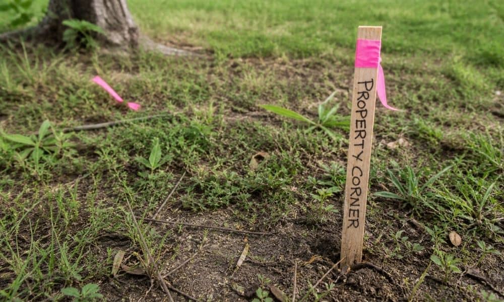
If your survey markers are gone, you need a land surveyor to re-establish your property lines before building or making changes. Missing stakes mean your boundary is no longer clear on the ground. In many cases, guessing leads to fence mistakes, permit delays, or disputes with neighbors. A new land survey restores accurate boundaries using […]
As-Built Survey: What Gets Checked Before Final Approval
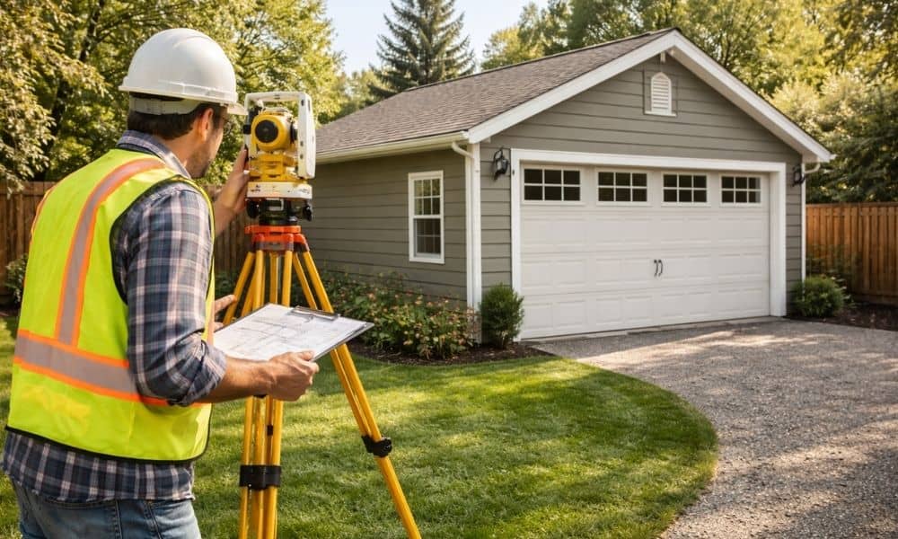
You finally finished your detached garage. Or maybe a backyard shop you’ve been planning for months. Everything looks good. The structure stands strong, the space is ready, and you’re already thinking about how you’ll use it. Then the final approval gets delayed. That throws a lot of people off. In most cases, it’s not about […]