You’re ready to build a fence or add a shed. You already picture how it will look. However, one big question often gets missed: Are you sure where your property line is? Many homeowners guess. Some follow an old fence. Others trust what a neighbor says. But those guesses can lead to costly mistakes. That’s where a residential surveyor comes in. Most people don’t realize how much detail goes into confirming a boundary until they see how residential surveyors verify property lines in the field.
Why Property Line Markers Matter More Than You Think
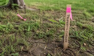
Property line markers show the true corners of your land. These markers can be metal pins, stakes, or small monuments set in the ground. At first glance, they seem simple. Yet in reality, they are easy to miss.
Over time, markers can get buried under dirt or grass. In some cases, they get moved or removed. As a result, what looks like your boundary may not be correct.
Because of this, building without checking markers can cause problems such as:
- A fence placed on your neighbor’s land
- A shed built too close to the line
- Issues when you try to sell your home later
So while it may feel like a small detail, property line markers play a big role in protecting your property. It’s also the reason many homeowners take a step back before building and think about working with a residential surveyor before you build instead of relying on guesswork.
The Most Common Mistakes Homeowners Make
Before building, many homeowners rely on what they see. Unfortunately, that often leads to mistakes.
First, some people assume the old fence marks the boundary. However, fences are not always built on the exact line. In fact, they may sit a few feet off.
Next, others look at a plat map or listing sketch. While those help, they are not precise enough for building. They show general layout, not exact field measurements.
Also, many homeowners trust verbal agreements. For example, a neighbor might say, “That’s your side.” Even so, that does not make it legal.
Finally, some people find a marker and assume it’s correct. But without checking all corners, that one marker could be misleading.
Because of these common mistakes, it’s smart to bring in a professional before starting your project.
What a Residential Surveyor Actually Does
A residential surveyor does more than just “look at the land.” They follow a clear process to find and confirm your true property lines.
First, they research your property records. This includes deeds, plats, and past surveys. These documents show the legal description of your land.
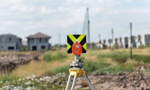
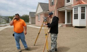
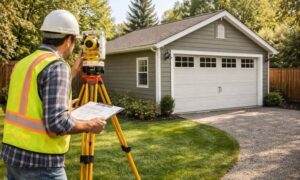
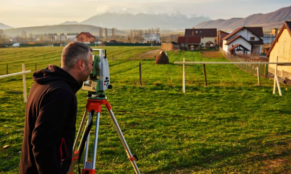
Next, they visit your property. Using special tools, they locate existing property line markers. If markers are missing, they can re-establish them based on measurements.
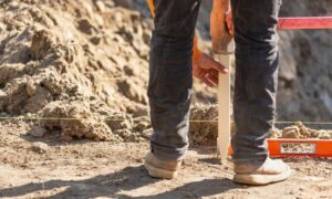
Then, they measure the exact boundaries. This step ensures every line matches legal records, not guesswork.
When You Should Call a Residential Surveyor
Timing matters. In fact, calling a residential surveyor before you build can prevent major problems later.
You should consider hiring one:
- Before installing a new fence
- Before adding a shed or small building
- Before replacing an old fence
- When buying a home
- When a neighbor questions your boundary
Even if your project seems simple, checking first can save you from expensive fixes.
For example, moving a fence after it’s built costs much more than placing it correctly from the start.
How This Protects You from Costly Disputes
Boundary issues often lead to conflict. However, most disputes start with small mistakes.
Imagine building a fence just one foot over the line. At first, it may go unnoticed. Later, your neighbor may raise a concern. Then, you may need to remove or move the fence.
That means extra labor, extra cost, and stress.
In other cases, boundary problems show up during a home sale. A buyer may request a survey. If issues appear, the deal could slow down or even fall through.
On the other hand, working with a residential surveyor gives you peace of mind. You know your project sits in the right place. You avoid guesswork and future problems.
What to Expect When Hiring a Local Residential Surveyor
If you’ve never hired a surveyor before, the process is simple.
First, you contact a local residential surveyor and explain your project. Then, they schedule a site visit.
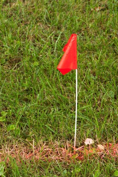
During the visit, they locate property line markers and mark the boundaries. In some cases, they place flags or stakes so you can see the lines clearly.
Afterward, you may receive a survey drawing. This document shows your property lines and any features on the land.
In growing areas like Huntsville, this step becomes even more important. New homes, tighter lots, and changing neighborhoods make accurate boundaries a must.
Final Thoughts: Don’t Build on Assumptions
Building a fence or shed feels exciting. However, starting without clear boundaries can lead to problems.
Property lines are legal, not visual. What you see may not match what is recorded.
That’s why working with a residential surveyor is a smart first step. They help you verify property line markers, confirm your boundaries, and build with confidence.
In the end, it’s simple: Measure first, build second.